Photo: Steamboat Resort/Larry Pierce
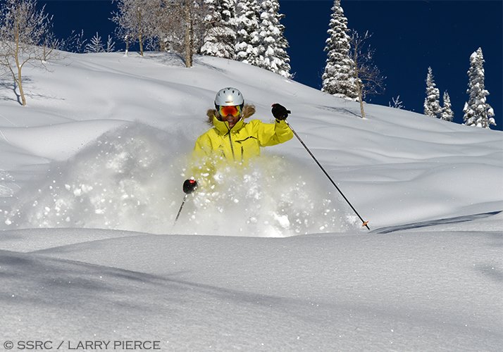
Steamboat Springs is gearing up for March and the arrival of Spring Break skiers following a super snowy February with 50% better-than-average snowfall.
Steamboat has had 45 inches of snowfall (as of this post) so far in February, with average snowfall hovering around 30 inches. That has meant plenty of powder-filled days for us lucky enough to have been here, and it also means and even better base for spring break skiers.
Legendary meteorologist, forecaster and avid powder skier Joel Gratz from OpenSnow.com has delighted us lately with his forecasts which highlight a return to more normal weather patterns bringing snow throughout the Colorado Rockies. Despite a dry pattern that has affected southern Colorado in November and December, Steamboat in the NW corner of the state has enjoyed multiple snow events and has maintained 100% coverage on all trails since a 32" storm just before the Holidays.
Continuing our good fortune, Joel's latest forecast highlighted “Multiple Storms Through Sunday”
Steamboat Weather Summary
On Wednesday night, the steadiest snow fell in the southern mountains (2-10 inches) while most other central and northern mountains received a dusting to an inch. We’ll see a similar pattern on Thursday, with the next storm bringing 3-6 inches to most mountains from Friday afternoon through Saturday morning. The final storm in the series should drop another 2-4+ inches from Saturday afternoon through Sunday morning. Snow conditions should be soft through the weekend due to these storms plus cold temperatures. Early next week will be dry then we should see more snow during the middle and end of next week.


